German scientists analyzed satellite images of the Oder river. They have the answer
Researchers of the Institute of Freshwater Ecology and Inland Fisheries named after Leibniz, together with experts from Brockann Consult, analyzed the pictures of the Oder River from the Copernicus Sentinel 2 satellite. They gave the “most probable cause of the disaster” in the river.
The German Leibniz Institute is one of the largest research centers of this type, dealing with freshwater aquatic environments. Brockman Consult, on the other hand, is a company specializing in the analysis of environmental data. Employees of both of these bodies, using the photos of the European satellite, looked at the recent problems of the Oder “from above”.
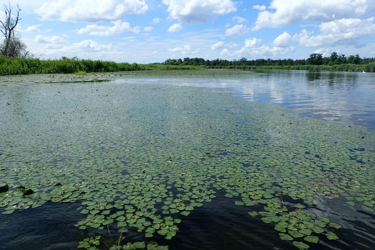
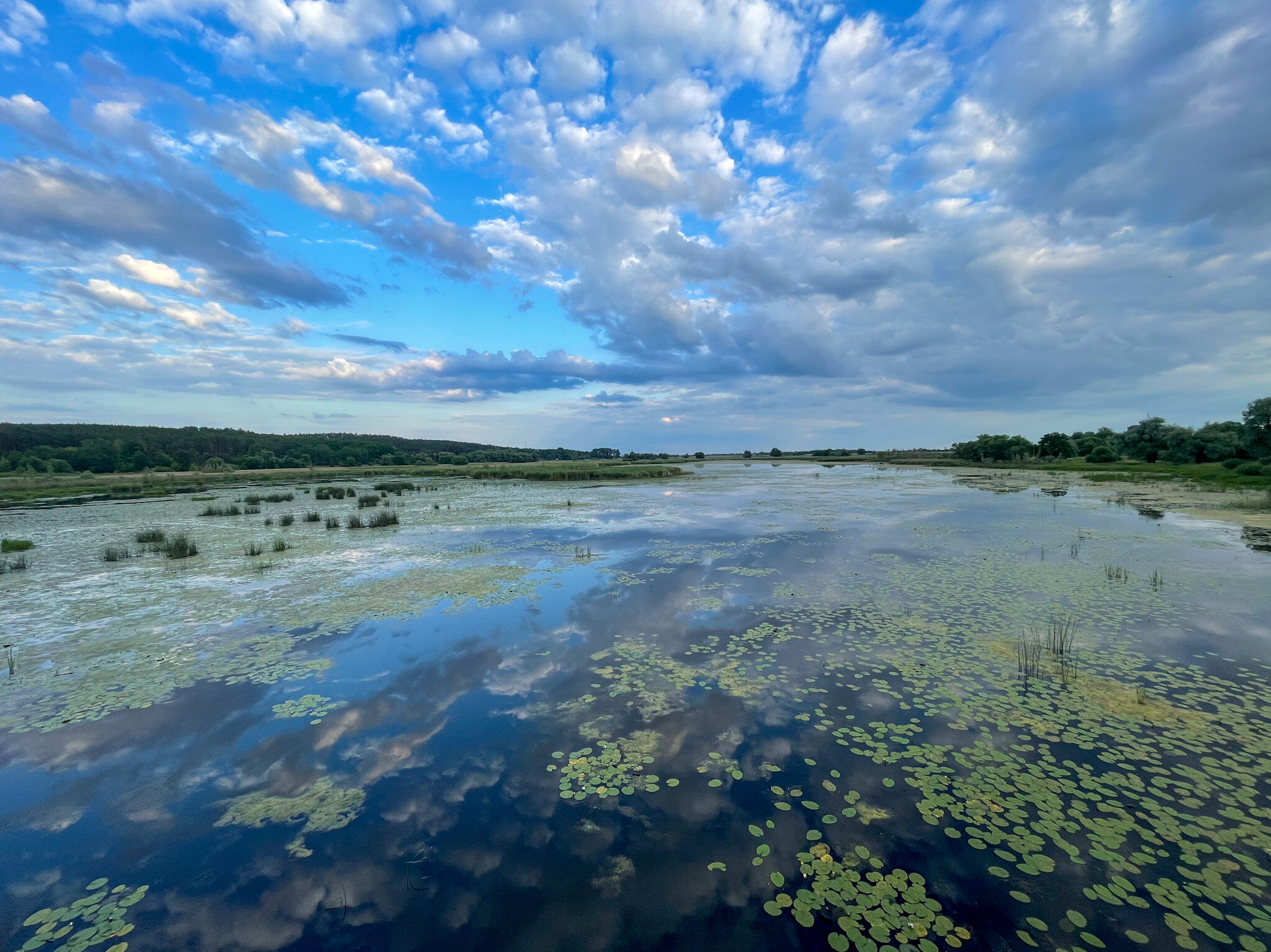
In their work, the scientists used the available data to calculate the concentration of chlorophyll, which is an indicator of algal blooms. They distinguished three periods, showing the different concentration of this molecule, creating three profiles of the river: July 24-25, August 4-6 and August 16-18.
The yellow color seen in satellite images shows the high concentration of chlorophyll in mid-August. In the photographs shared on Twitter, we can see that the level of this molecule at the end of July was lower than in the other periods studied. At the beginning of August there was a significant increase in concentration and range, which continued to increase over time.
Scientists from the Institute of Freshwater Ecology and Inland Fisheries named after Leibniz already suspected that the so-called. “golden algae”. Species Prymnesium parvum, among others by water ecologist Christian Wolter, it is now considered the most likely cause of the disaster in the river. The low water level and high temperatures created ideal conditions for the mass development of toxic algae. After opening the sluices, they could flow further along the entire Oder River.