Natural disaster in Mauritius seen from space. ESA publishes a photo from the satellite
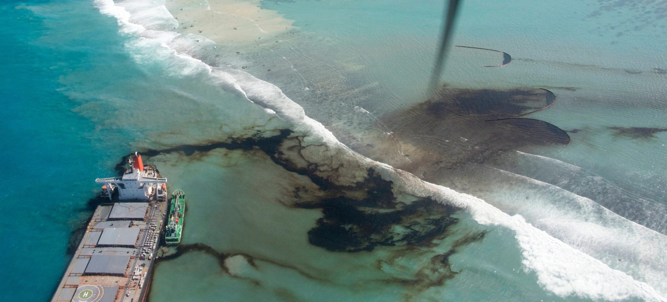
The European Space Agency showed an image from the Sentinel 2 satellite, which shows the magnitude of the disaster in Mauritius. On July 25, the Japanese tanker MV Wakashio collided with a coral reef there.
The European Space Agency shared a satellite image taken on August 11. It shows the extent of the oil spill from the Japanese oil tanker MV Wakashio, which ran aground on July 25. The oil spills are miles away from the scene.
4,000 tons of oil
According to the information provided by the ESA, there were over 4,000 tons of crude oil on board the tanker. It is estimated that about 1,000 tons have already entered the waters around Mauritius, and today the media reported that the tanker’s hull had broken open. This could mean that the rate of oil entering the bay will be even faster.
Local officials say the operation to tow the two parts of the tanker to shore will begin soon. It was also reported that a rescue operation was underway to contain the spill and repair the damage that had already been done. Most of the oil remaining in the tanker was supposed to be pumped out last week. Mauritian Prime Minister Pravind Jugnauth said the delays in the rescue operation were due to bad weather.