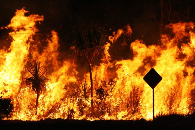
This is what global warming looks like. These satellite images show the scale of the problem
This is what the climate catastrophe looks like in several photos. The European Space Agency has presented photographs that may be a wake-up call.
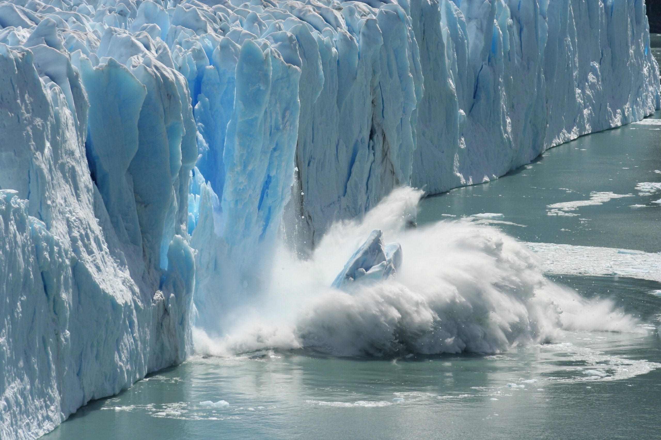
The name Nioghalvfjerdsfjorden is not associated with many people. However, it is one of the largest glaciers in the world, which is melting at an alarming rate. The European Space Agency has released a series of satellite photos from the Copernicus Sentinel-2 program, which shows the real scale of the problem.
The largest ice cap in history broke away from a glacier with a difficult to pronounce name located in Greenland in July. According to scientists, since 1990, the tongue of glacier 79N (as it is called for convenience) has shrunk by about 23 kilometers. However, the greatest losses were recorded during the last two summer seasons. From the analyzes of the presented satellite photos, scientists drew another disturbing conclusion. The glacier not only loses subsequent fragments that break off from it, but also melts on its surface.
Scientists point out the numerous water reservoirs on the surface of Nioghalvfjerdsfjorden. They are formed in depressions in the ice cover, which melts as a result of extremely high temperatures. They point out that a similar situation may look like under a glacier. The ocean waters are also warmer than they were just a few years ago, which is why they are melting the ocean from underneath.